- Free UK Shipping
- Worldwide Shipping
- Unique Product
- Satisfied Customers

Price range: £29.00 through £49.00
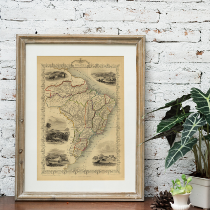
A highly decorative and finely engraved mid-19th-century map of Germany, which was engraved by J. Rapkin (vignettes by N. Whittock & J. Hughes) and published in John Tallis & co.’s The Illustrated Atlas (London & New York: c.1851). The Illustrated Atlas, published from 1849 onwards, was the last decorative world atlas.
The ‘Germany’ map was typical of the many fine ones which appeared in this work, with its decorative border and attractive vignettes. Illustrated are views of Coburg, Dresden, Cologne from the Rhine, the Palace of Saxe-Coburg (birthplace of Prince Albert), Martin Luther’s house in Frankfurt, silver mines in the Hartz mountains, and a triple portrait of Guttenburg, Faust and Schoffeer, the ‘inventors of printing’.
| Weight | N/A |
|---|---|
| Size | 38×51 cm, 60×81 cm |


No account yet?
Create an Account


1 review for GERMANY 1851
Clear filters