


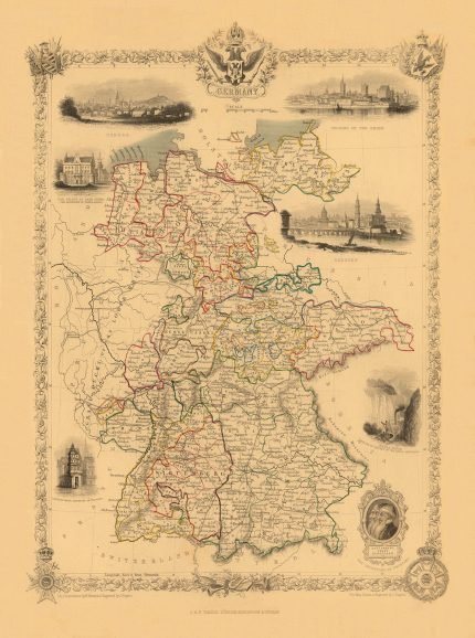
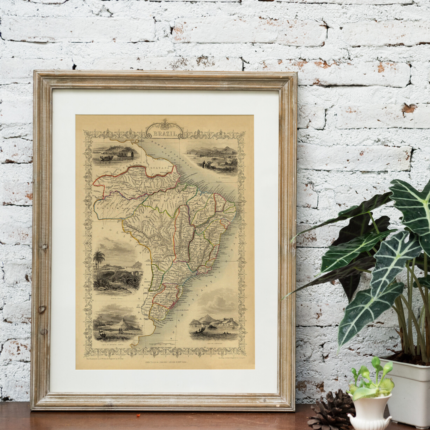
GERMANY 1851 Price range: £29.00 through £49.00
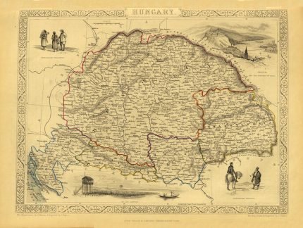
HUNGARY 1851 Price range: £29.00 through £49.00
GREECE 1851
Price range: £29.00 through £49.00
Old Map reprint of Greece
* Linen Backed by Hand.
* Folding Map. Fitted into a marbled slipcase.
6 People watching this product now!
Description
✶✶✶ Unique Old Map Reproduction ✶✶✶
Map of GREECE drawn & engraved by John Rapkin for “The Illustrated Atlas and Modern History of the World” by Montgomery Martin. It is an attractive and decorative map with vignette engravings of Greek Corsairs off Corfu, Ancient War Chariot, Modern Greek, a wrestling scene, and Temple of Jupiter Olympus at Athens.
CARTOGRAPHER: JOHN TALLIS
YEAR: 1851
Additional information
| Weight | N/A |
|---|---|
| Size | 51×38 cm ,79×60 cm |
Shipping & Delivery
Product Information

Our unique product have been meticulously crafted, with great care and attention to detail.
✶ All Maps and illustrations are linen-backed by hand.
✶ Printed on Archival Matte Paper.
✶ Quality Epson pigment inks used. Fade resistant.
✶ Maps are folded and fitted into a hand wrapped marbled slipcase.
✶ Illustrations are rolled and posted in a sturdy cardboard tube.
✶ Dimensions are approximately. Select size from the menu.
✶ Colours may vary due to monitor resolution.


Reviews
Clear filtersThere are no reviews yet.