


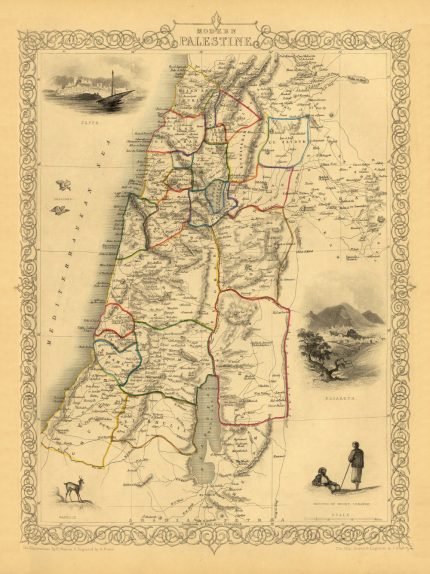
PALESTINE 1851 Price range: £29.00 through £49.00
SCOTLAND 1847 Price range: £29.00 through £49.00
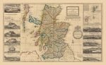
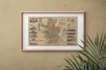
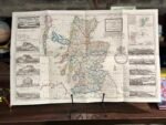
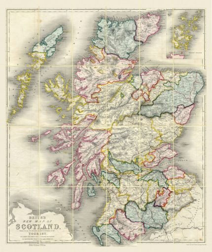
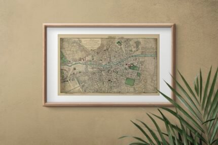
SCOTLAND 1714
Price range: £29.00 through £49.00
Old Map reprint of Scotland.
* Linen Backed by Hand.
* Folding Map. Fitted into a marbled slipcase.
10 People watching this product now!
Description
✶✶✶ Unique Old Map Reproduction ✶✶✶
Map of Scotland. The North Part of Great Britain called Scotland, with considerable improvements and many remarks not extant in any map.
According to the Newest and Exact observations, this handsome map of Scotland shows great detail of the towns, counties, rivers, ports, and surrounding islands.
Moll’s map served as a significant improvement to the outline of Scotland as depicted in the previous century.
CARTOGRAPHER: Herman Moll
YEAR: 1714
Additional information
| Weight | N/A |
|---|---|
| Size | 61×37 cm ,87×54 cm |
Shipping & Delivery
Product Information

Our unique product have been meticulously crafted, with great care and attention to detail.
✶ All Maps and illustrations are linen-backed by hand.
✶ Printed on Archival Matte Paper.
✶ Quality Epson pigment inks used. Fade resistant.
✶ Maps are folded and fitted into a hand wrapped marbled slipcase.
✶ Illustrations are rolled and posted in a sturdy cardboard tube.
✶ Dimensions are approximately. Select size from the menu.
✶ Colours may vary due to monitor resolution.


Reviews
Clear filtersThere are no reviews yet.