- Free UK Shipping
- Worldwide Shipping
- Unique Product
- Satisfied Customers
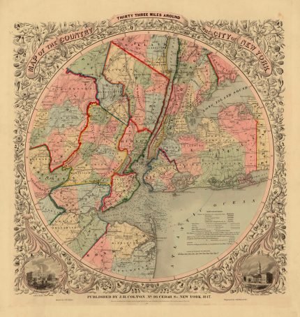
Price range: £29.00 through £49.00
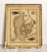
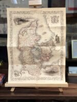
A beautiful map of Denmark. The map was drawn & engraved by J.Rapkin. The Illustrations by H.Warren & Engraved by J.B.Allen. Pictures of Copenhagen, Helsingborg, Landskrona, Slewing Elsinore. Also shown is the Coat of Arms. Published in the famous “The Illustrated Atlas, and Modern History of the World Geographical, Political, Commercial and Statistical”.
| Weight | N/A |
|---|---|
| Size | 38×52 cm, 60×81 cm |


No account yet?
Create an Account


Reviews
Clear filtersThere are no reviews yet.