- Free UK Shipping
- Worldwide Shipping
- Unique Product
- Satisfied Customers
Price range: £29.00 through £49.00
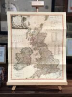
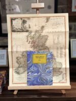
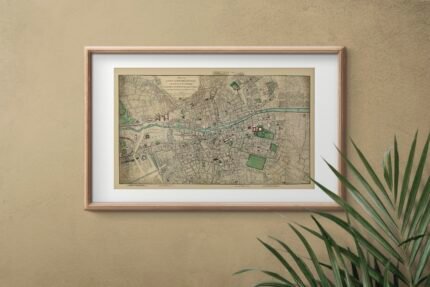
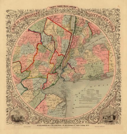
Map of Great Britain & Ireland, drawn from the best surveys etc. by Tho. Kitchin, Geographer.
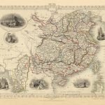
The map has a decorative cartouche with Britannia seated below, her outstretched hands indicating the cornucopia of plenty below her, left, the barrels, scythe, the garlanded youth holding a scroll with a ship on it, an anchor in the background and to right, a sailing ship and castle – all indicating the prestige, might and plenty of the kingdom.
Three scales of Distance bottom left (British Statute Miles, Common Scotch Miles, Irish Miles), reference key to the counties of Ireland middle left, explanation key top right showing symbols for roads, markets, etc in England, Scotland and Ireland.
Reference to the Shires of Scotland top right and below to the Counties of England and Wales. A map published by Laurie & Whittle, London.
| Weight | N/A |
|---|---|
| Size | 40×49 cm, 60×73 cm |


No account yet?
Create an Account


Reviews
Clear filtersThere are no reviews yet.