- Free UK Shipping
- Worldwide Shipping
- Unique Product
- Satisfied Customers

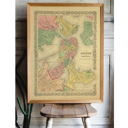
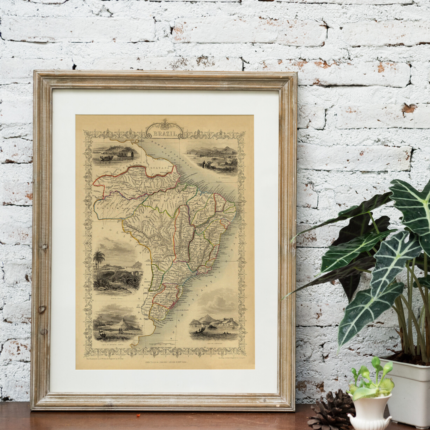
Price range: £29.00 through £49.00
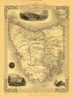
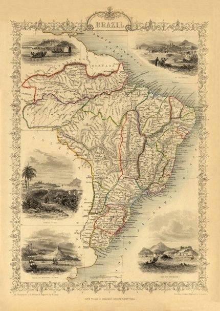
This is an impressive 1851 Tallis map of Van Diemen’s Island or Tasmania. The map covers the entire island of Tasmania in considerable detail, noting towns, lakes, mountain ranges, and other topographical features. It includes illustrations by H. Warren of Hobart Town, a Tasmania dog, and the residence of the Van Diemen Land Company’s Agent. This map was issued as part of the 1851 edition of John Tallis and Company’s The Illustrated Atlas, and Modern History of the World.
| Weight | N/A |
|---|---|
| Size | 38×52 cm, 60×81 cm |


No account yet?
Create an Account


Reviews
Clear filtersThere are no reviews yet.