- Free UK Shipping
- Worldwide Shipping
- Unique Product
- Satisfied Customers
£29.00
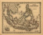
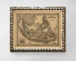
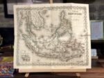
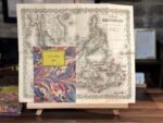
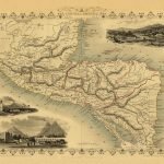
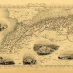
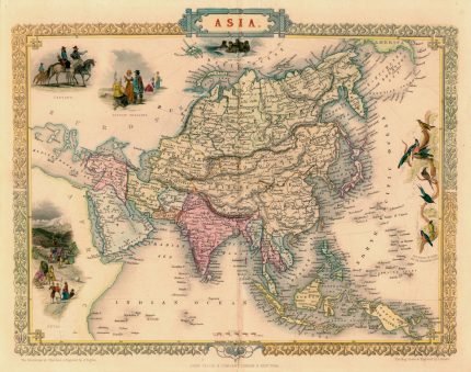
Map of EAST INDIES. The map depicts from Burma in the extreme northwest to New Guinea and East Timor in the southeast. Includes Burma, Pegu, Siam (Thailand), Cambodia, Chochin (South Vietnam), Malay (Malaysia), Borneo, the Philippines, Java, Sumatra, and Singapore. This map is significant, as it is among the first American maps to detail the Island and City of Singapore – appearing on the bottom right. At the time of publication, Singapore, governed by the British East India Company, experienced a massive tide of immigration and growth due to its open immigration and free trade policies. Cities, towns, forts, rivers, rapids, fords, and additional topographical details are identified throughout. This map was part of volume 2 of the first edition of George Washington Colton’s 1855 Atlas of the World.
| Weight | N/A |
|---|---|
| Size | 49×40 cm |


No account yet?
Create an Account


1 review for EAST INDIES 1855
Clear filters