- Free UK Shipping
- Worldwide Shipping
- Unique Product
- Satisfied Customers
Price range: £29.00 through £49.00
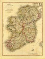
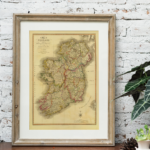
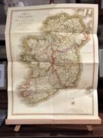
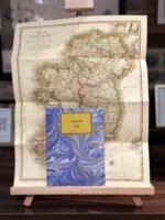
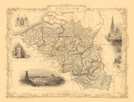
Map of Ireland divided into provinces and countries, showing the great and crossroads with the distances of the principal towns from Dublin.
This map depicts the emerald isle in its entirety, divided into counties and provinces. It covers the four provinces, which remain the same to this day. Also notes major roads, riverways, mountains, and other topographical features. It contains notes of the distances to the principal towns from Dublin, and off the coast, note of various shoals.
By Willm.Faden, Geographer to His Majesty, and to HRH the Prince of Wales. London, 1798. Published by W.Fadem, Charing Cross, Sept. 17, 1798.
| Weight | N/A |
|---|---|
| Size | 37×51 cm, 60×79 cm |


No account yet?
Create an Account


Reviews
Clear filtersThere are no reviews yet.