- Free UK Shipping
- Worldwide Shipping
- Unique Product
- Satisfied Customers
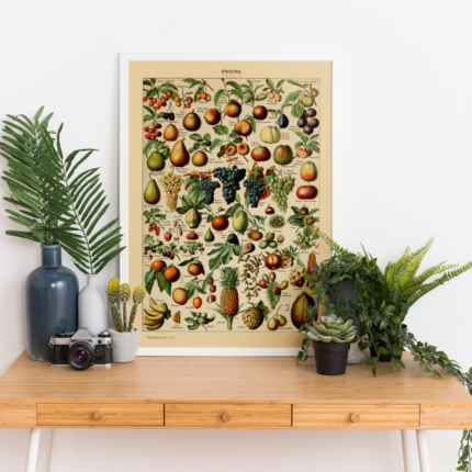
Price range: £29.00 through £49.00
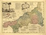
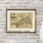
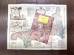
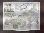
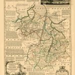
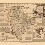
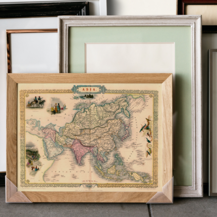
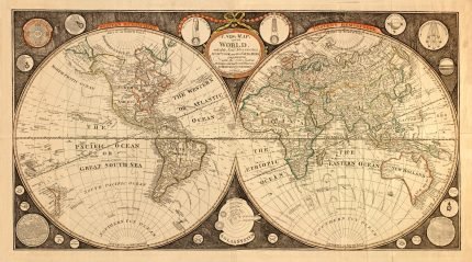
A new Improved Map of Cornwall, from the best surveys & intelligence divided into its hundreds, showing the several roads and true measured distance between town & town, also the rectories and vicarages, the parks & seats of the nobility & gentry, with other useful particulars. Regulated by astronomical observations.
| Weight | N/A |
|---|---|
| Dimensions | N/A |
| Size | 51×39 cm, 59×79 cm |


No account yet?
Create an Account


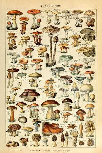
%20Circa%201897&url=https://www.oldmapslibrary.com/product/mushrooms-champignons-circa-1897/&media=https://www.oldmapslibrary.com/wp-content/uploads/2023/07/Adolphe_Millot_champignons-pour_tous-536x800.jpg)
1 review for CORNWALL 1775
Clear filters