- Free UK Shipping
- Worldwide Shipping
- Unique Product
- Satisfied Customers
£29.00
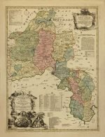
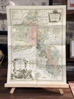
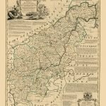
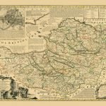
A fine map of Oxfordshire. From the best surveys and intelligences, Divided into its Hundreds: Shewing the several roads and true measured distances, between Town and Town; also the rectories and vicarages, the parks and seats of the nobility & gentry, with other useful particulars. Regulated by Astronomical Observations. By Tho. Kitchin, Geographer. The map is dedicated to the Duke of Marlborough, has a monumental cartouche with a scene of scholars debating alongside, and lists the 20 Oxford Colleges. It was published by T & J Bowles and John Tinney. London
| Weight | N/A |
|---|---|
| Size | 39×51 cm |
Europe | Zone 1 | Zone 2 | Zone 3 | |
|---|---|---|---|---|
Small Map Size | £9.90 | £11.20 | £12.25 | £11.35 |
Large Map Size | £14.20 | £20.35 | £22.10 | £23.75 |
Illustrations (tube) | £12.65 | £16.45 | £17.60 | £18.35 |
World Zone 1: Covers all countries, not defined as being in Europe or World Zone 2. (World Zone 1 generally covers countries in North America, South America, the Middle East, the Far East and South East Asia).
World Zone 2: Australia, Belau(Palau), China (including Tibet), East Timor, Fiji, French Southern and Antarctic Territories, French Polynesia, Guam, Japan, Kiribati, Korea, Marshall Islands, Micronesia, Mongolia, Nauru Islands, New Caledonia, New Zealand, Norfolk Island, North Marina Island, Papua New Guinea, Philippines, Pitcairn Island, Samoa, Solomon Islands, Singapore, Taiwan, Tonga, Tuvalu, Vanuatu, Wake Island, Wallis and Futuna Islands, Western Samoa.
World Zone 3: USA


No account yet?
Create an Account
1 review for OXFORDSHIRE 1750
Clear filters