- Free UK Shipping
- Worldwide Shipping
- Unique Product
- Satisfied Customers
£29.00 – £49.00Price range: £29.00 through £49.00
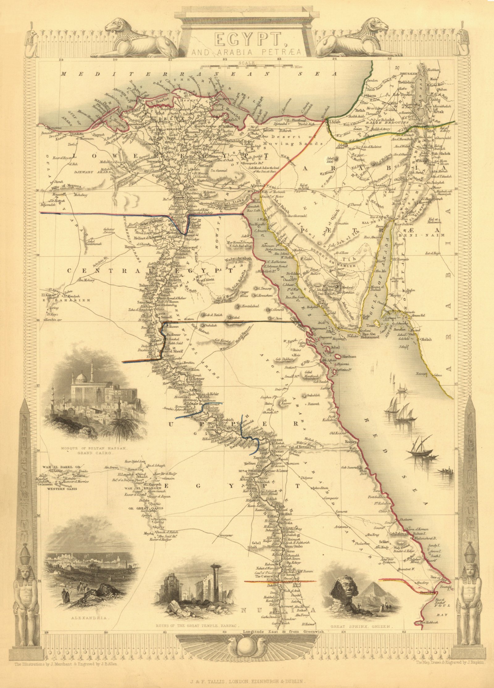
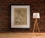
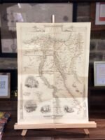
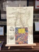
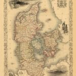
This is a fine map of Egypt and Arabia Petraea. A detailed map with many places named along the Nile river, it has exquisite vignettes of Alexandria, Ruins of the Great Temple, Great Sphinx, and Mosque of Sultan Hassan. Construction on the Suez Canal, which would connect the Mediterranean with the Red Sea, began in 1950, eight years after this map was published. Drawn and engraved by J. Rapkin with the vignettes by J. Marchant & J. B. Allen, and published in John Tallis’s Illustrated Atlas.
| Weight | N/A |
|---|---|
| Size | 37×51 cm, 60×84 cm |
Europe | Zone 1 | Zone 2 | Zone 3 | |
|---|---|---|---|---|
Small Map Size | £9.90 | £11.20 | £12.25 | £11.35 |
Large Map Size | £14.20 | £20.35 | £22.10 | £23.75 |
Illustrations (tube) | £12.65 | £16.45 | £17.60 | £18.35 |
World Zone 1: Covers all countries, not defined as being in Europe or World Zone 2. (World Zone 1 generally covers countries in North America, South America, the Middle East, the Far East and South East Asia).
World Zone 2: Australia, Belau(Palau), China (including Tibet), East Timor, Fiji, French Southern and Antarctic Territories, French Polynesia, Guam, Japan, Kiribati, Korea, Marshall Islands, Micronesia, Mongolia, Nauru Islands, New Caledonia, New Zealand, Norfolk Island, North Marina Island, Papua New Guinea, Philippines, Pitcairn Island, Samoa, Solomon Islands, Singapore, Taiwan, Tonga, Tuvalu, Vanuatu, Wake Island, Wallis and Futuna Islands, Western Samoa.
World Zone 3: USA


No account yet?
Create an Account
1 review for EGYPT 1851
Clear filters