- Free UK Shipping
- Worldwide Shipping
- Unique Product
- Satisfied Customers
Price range: £29.00 through £49.00
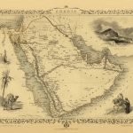
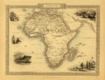
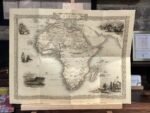
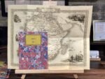
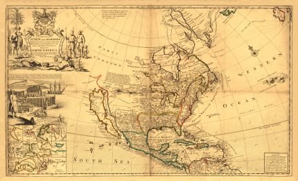
Map of Africa. The original map was drawn and engraved by John Rapkin (illustrations by J. Marchant and J. H. Kernot), and published in John Tallis & co.’s The Illustrated Atlas (London, Edinburgh & Dublin: J. & F. Tallis, c.1853). At the time the map was produced most of central Africa was still unknown to Europeans. Geographers had no knowledge of Lake Tanganyika and Lake Victoria and still believed that the legendary ‘Mountains of the Moon’ were the source of the Nile River. It was in 1858 when an expedition led by Richard Burton and John Speke finally made these discoveries including the true source of the Nile being Lake Victoria.
| Weight | N/A |
|---|---|
| Size | 52×39 cm, 80×60 cm |


No account yet?
Create an Account


1 review for AFRICA 1851
Clear filtersThere are no reviews yet.