- Free UK Shipping
- Worldwide Shipping
- Unique Product
- Satisfied Customers
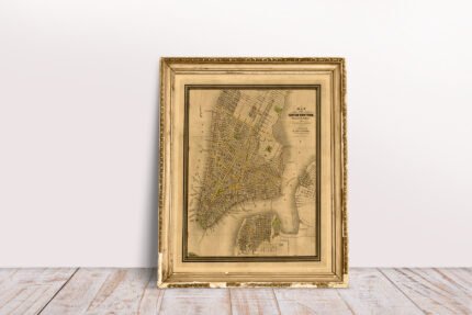
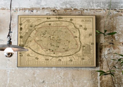
Price range: £29.00 through £49.00
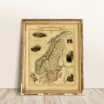
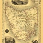
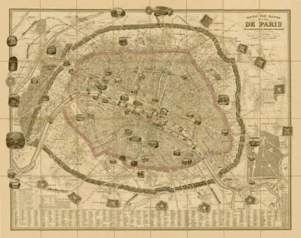
Map of SWEDEN AND NORWAY. The map has vignette views, including Stockholm, Swedish peasants and Norwegian Laplanders in winter dress, the iron mine of Dannemora and Norwegian ‘skielobere’, or Skate runners. The map was drawn and engraved by John Rapkin, while the illustrations are drawn by J. Marchant, and engraved by J. H. Kernot, and published in John Tallis & co.’s The Illustrated Atlas (London & New York: c.1851).
| Weight | N/A |
|---|---|
| Size | 37×51 cm, 60×84 cm |


No account yet?
Create an Account


Reviews
Clear filtersThere are no reviews yet.