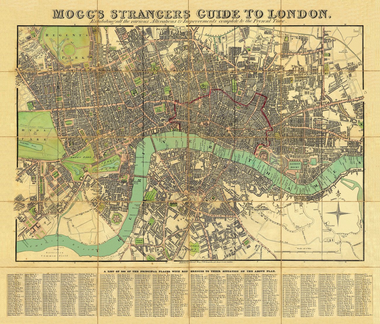
A fine reproduction of Mogg’s Strangers Guide to London Map. Exhibiting All The Various Alterations & Improvements Complete To The Present Time. The map shows London with “a list of 500 of the principal places with references to their situation on the above plan”. Main streets and green spaces are coloured in, and the map also shows the boundary of the City of London. Coverage roughly: most of Regent’s Park – Pentoville Road – Hackney; Stepney – Surrey Docks; Kennington including part of The Oval; Royal Chelsea Hospital – most of Hyde Park.
YEAR: 1834
CARTOGRAPHER: Edward Mogg


Reviews
Clear filtersThere are no reviews yet.