- Free UK Shipping
- Worldwide Shipping
- Unique Product
- Satisfied Customers
Price range: £28.00 through £48.00
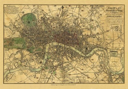
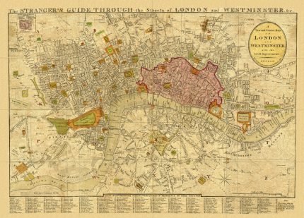
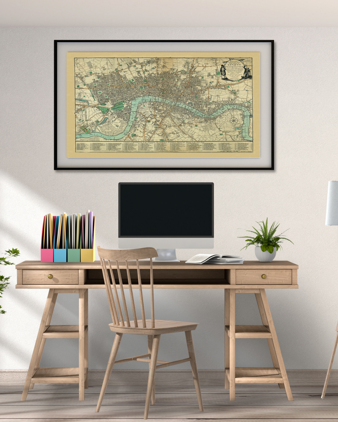
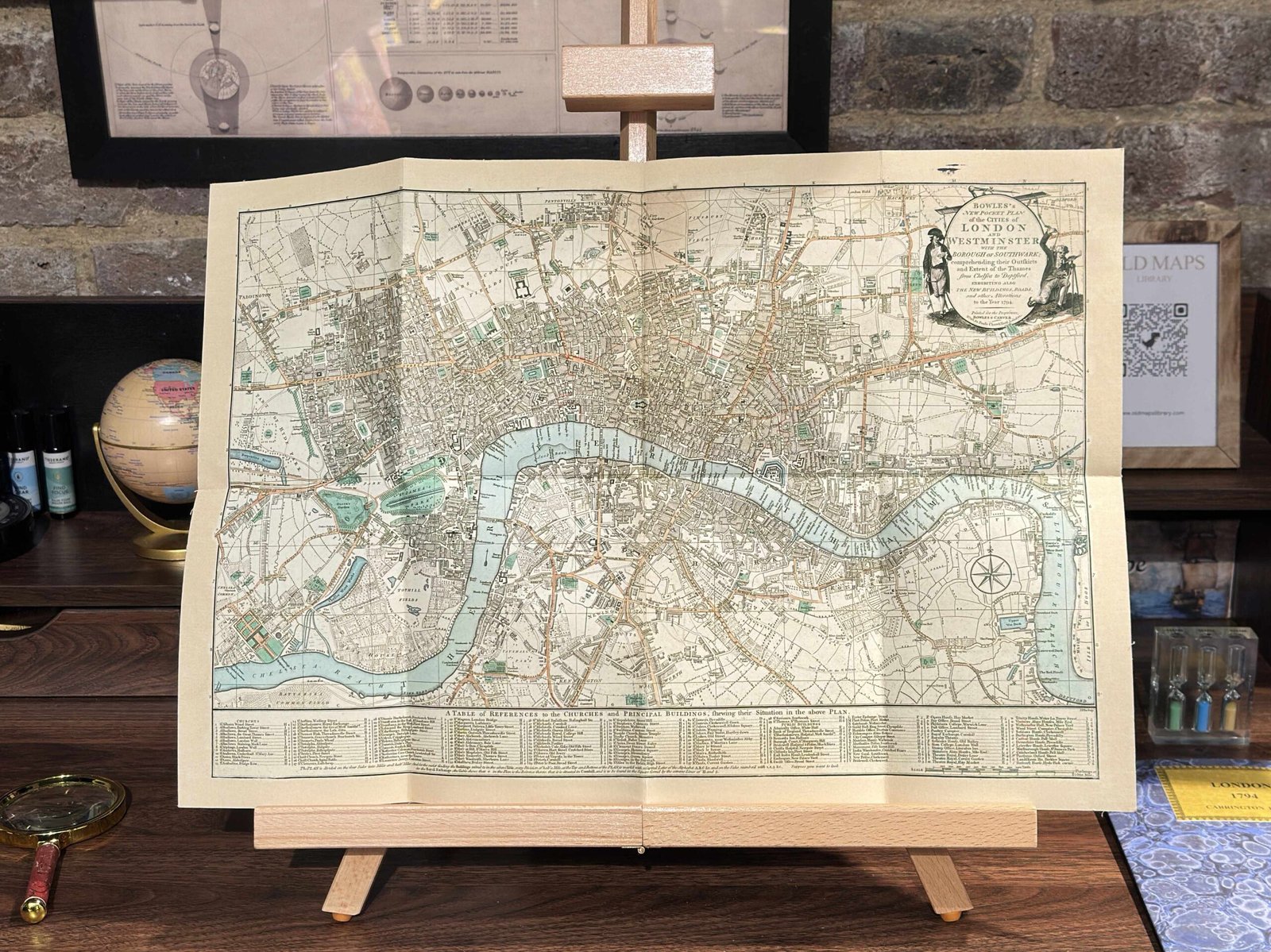
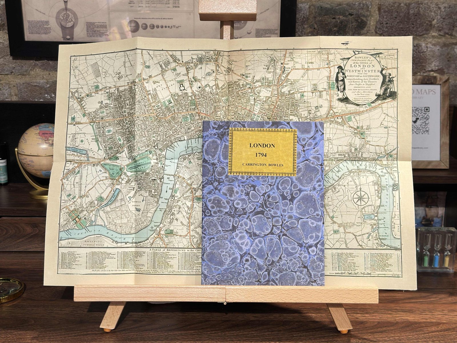
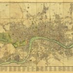
A unique map of BOWLE’S New Pocket Plan of the Cities of London and Westminster with the Borough of Southwark: comprehending their Outskirts and Extent of the Thames from Chelsea to Deptford, exhibiting also the New Buildings, Roads and other Alterations to the year 1794. Detailed plan of Eighteenth-century London. Superb detail throughout, often noting individual buildings, gardens, and estates. Table along the bottom notes principal buildings and churches. Bowles first issued this plan in 1777 and updated it regularly to the end of the 18th century.
YEAR: 1794
CARTOGRAPHER: Thomas Bowles
| Weight | N/A |
|---|---|
| Size | 51×35 cm, 89×60 cm |


No account yet?
Create an Account









2 reviews for BOWLE’S MAP OF LONDON 1794
Clear filtersThere are no reviews yet.