Showing 1–12 of 24 results

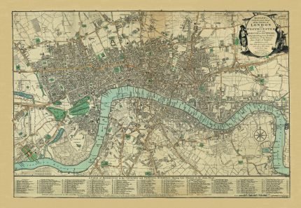
BOWLE’S MAP OF LONDON 1794 to Pinterest (opens in a new window)
This product has multiple variants. The options may be chosen on the product page
51x35 cm
89x60 cm

BOWLE’S MAP OF LONDON 1794

Price range: £28.00 through £48.00
CARY’S NEW AND ACCURATE PLAN OF LONDON 1795 to Pinterest (opens in a new window)
This product has multiple variants. The options may be chosen on the product page
90x58 cm

CARY’S NEW AND ACCURATE PLAN OF LONDON 1795

£48.00
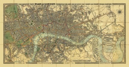
CRUCHLEY’S NEW PLAN OF LONDON IMPROVED TO 1827 to Pinterest (opens in a new window)
This product has multiple variants. The options may be chosen on the product page
101x53 cm

CRUCHLEY’S NEW PLAN OF LONDON IMPROVED TO 1827

£48.00
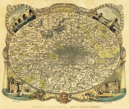
ENVIRONS OF LONDON, THOMAS MOULE 1837 to Pinterest (opens in a new window)
This product has multiple variants. The options may be chosen on the product page
48x40 cm
72x60 cm

ENVIRONS OF LONDON, THOMAS MOULE 1837

Price range: £28.00 through £48.00
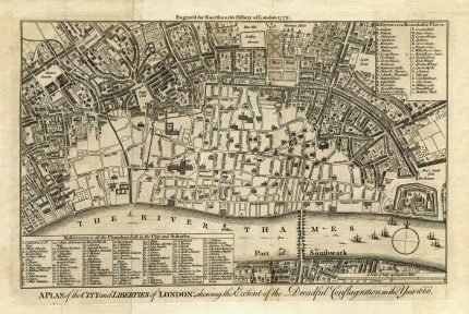
FIRE OF LONDON – A PLAN OF THE CITY AND LIBERTIES OF LONDON 1666 to Pinterest (opens in a new window)
This product has multiple variants. The options may be chosen on the product page
51x34 cm

FIRE OF LONDON – A PLAN OF THE CITY AND LIBERTIES OF LONDON 1666

£28.00
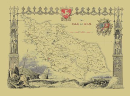
ISLE OF MAN c. 1843 to Pinterest (opens in a new window)
This product has multiple variants. The options may be chosen on the product page
52x37 cm

ISLE OF MAN c. 1843

£28.00
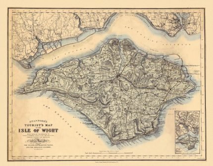
ISLE OF WIGHT 1879 to Pinterest (opens in a new window)
This product has multiple variants. The options may be chosen on the product page
51x40 cm

ISLE OF WIGHT 1879

£28.00
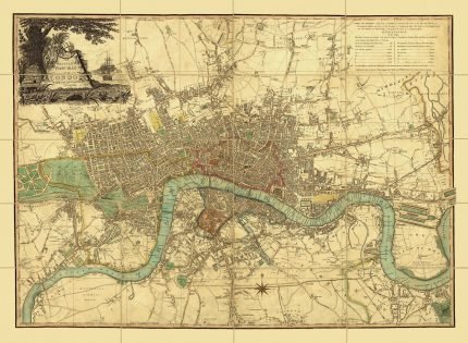
LAURIE & WHITTLE’S NEW MAP OF LONDON 1809 to Pinterest (opens in a new window)
This product has multiple variants. The options may be chosen on the product page
51x38 cm
83x60 cm

LAURIE & WHITTLE’S NEW MAP OF LONDON 1809

Price range: £28.00 through £48.00
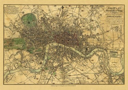
PIGOT & Co.s MINIATURE PLAN OF LONDON & VICINITY 1820 to Pinterest (opens in a new window)
This product has multiple variants. The options may be chosen on the product page
51x36 cm
86x60 cm

PIGOT & Co.s MINIATURE PLAN OF LONDON & VICINITY 1820

Price range: £28.00 through £48.00
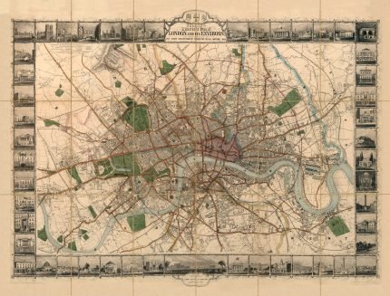
TALLIS’S ILLUSTRATED PLAN OF LONDON AND ITS ENVIRONS 1851 to Pinterest (opens in a new window)
This product has multiple variants. The options may be chosen on the product page
80x60 cm

TALLIS’S ILLUSTRATED PLAN OF LONDON AND ITS ENVIRONS 1851

£48.00
THE ISLAND OF SHETLAND, part of ORKNEY SHIRE to Pinterest (opens in a new window)
This product has multiple variants. The options may be chosen on the product page
41x51 cm

THE ISLAND OF SHETLAND, part of ORKNEY SHIRE

£28.00
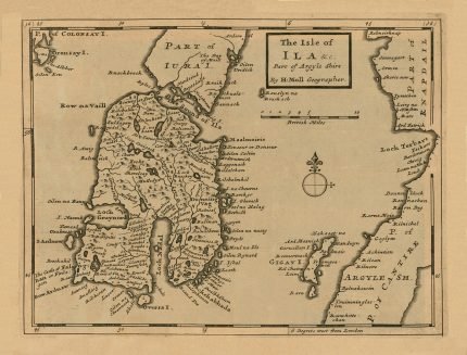
THE ISLE OF ILA AND PART OF ARGYLE SHIRE to Pinterest (opens in a new window)
This product has multiple variants. The options may be chosen on the product page
51x39 cm

THE ISLE OF ILA AND PART OF ARGYLE SHIRE

£28.00