- Free UK Shipping
- Worldwide Shipping
- Unique Product
- Satisfied Customers
£29.00
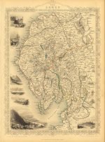
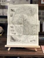
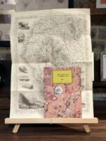
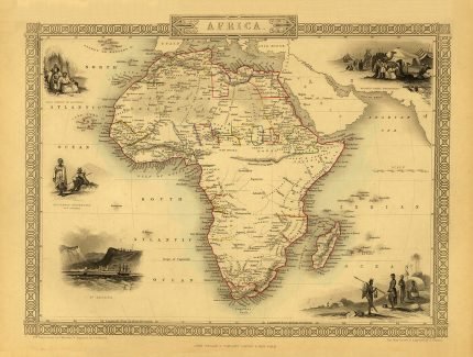
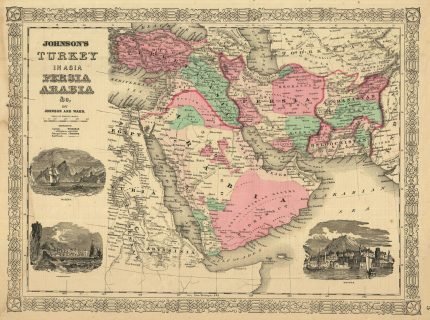
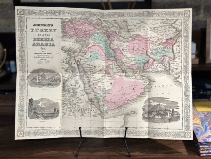
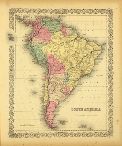
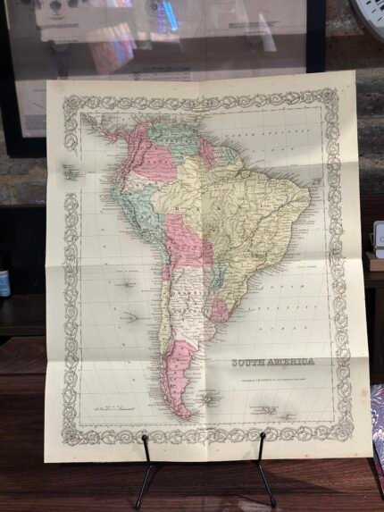
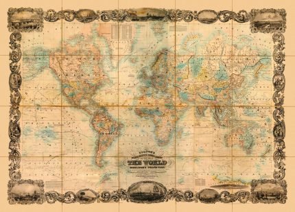
Antique map published by John Tallis & engraved by John Rapkin, 1851. It was published in John Tallis’s Illustrated Atlas, featuring beautiful vignette views of places of interest.
John Tallis (1817-1876) was a British map publisher. Born in the Midlands, Tallis came to London in the 1840s and began his London career with a series of remarkable London street views.
| Weight | N/A |
|---|---|
| Size | 38×51 cm |


No account yet?
Create an Account


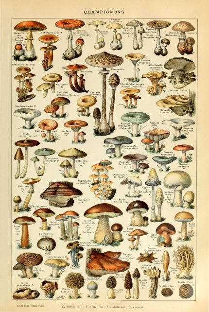
%20Circa%201897&url=https://www.oldmapslibrary.com/product/mushrooms-champignons-circa-1897/&media=https://www.oldmapslibrary.com/wp-content/uploads/2023/07/Adolphe_Millot_champignons-pour_tous-536x800.jpg)
Reviews
Clear filtersThere are no reviews yet.