- Free UK Shipping
- Worldwide Shipping
- Unique Product
- Satisfied Customers
Price range: £29.00 through £49.00
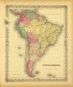
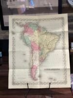
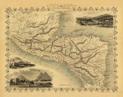
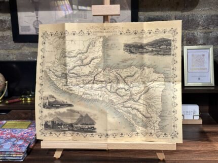
Map of SOUTH AMERICA. This map covers the entire continent, from the Caribbean to Tierra del Fuego and from the Pacific to the Atlantic. Includes the Galapagos, Juan Fernandez, Falkland, and South Georgia island groups. Shows Bolivia with an outlet to the Sea and Patagonia as separate from the Argentine Republic and Chile.
This map also identifies various cities, towns, forts, rivers, rapids, mountain passes, fords. It has additional topographical details, and was originally issued in Colton’s, 1856, Atlas of the World.
| Weight | N/A |
|---|---|
| Size | 40×48 cm, 60×82 cm |


No account yet?
Create an Account


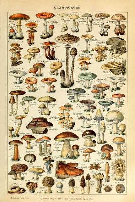
%20Circa%201897&url=https://www.oldmapslibrary.com/product/mushrooms-champignons-circa-1897/&media=https://www.oldmapslibrary.com/wp-content/uploads/2023/07/Adolphe_Millot_champignons-pour_tous-536x800.jpg)
1 review for SOUTH AMERICA 1856
Clear filtersThere are no reviews yet.