- Free UK Shipping
- Worldwide Shipping
- Unique Product
- Satisfied Customers
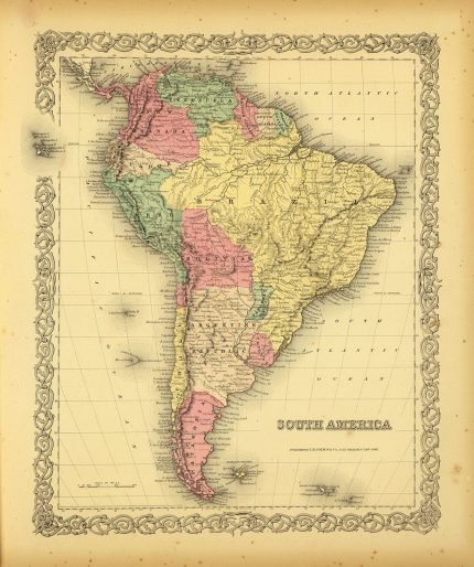
£29.00
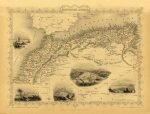
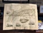
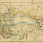
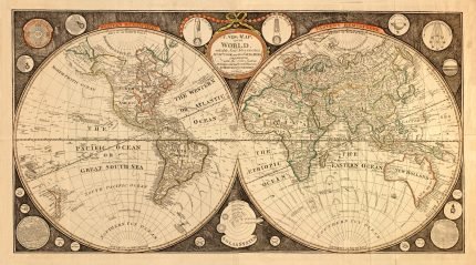
Map of NORTHERN AFRICA. This map is part of the The Illustrated Atlas, And Modern History Of The World Geographical, Political, Commercial & Statistical, Edited By R. Montgomery Martin. The Maps Drawn & Engraved By J. Rapkin. H. Warren. J. Rogers. J. & F. Tallis, London & New York. Map with illustrations of Morocco, Constantine, Algiers, and Tunis.
| Weight | N/A |
|---|---|
| Size | 51×39 cm |


No account yet?
Create an Account


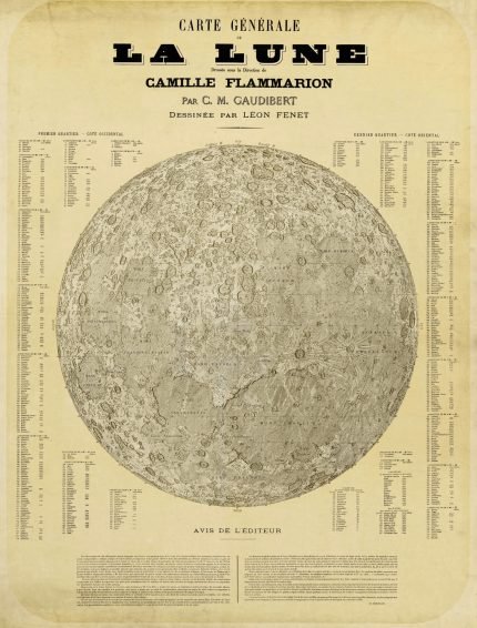
%201887&url=https://www.oldmapslibrary.com/product/the-moon-la-lune-1887/&media=https://www.oldmapslibrary.com/wp-content/uploads/2023/07/la-lune-1887-607x800.jpg)
Reviews
Clear filtersThere are no reviews yet.