- Free UK Shipping
- Worldwide Shipping
- Unique Product
- Satisfied Customers
£49.00
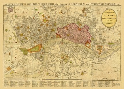
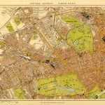
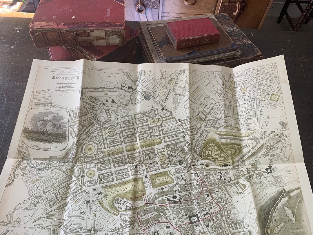
Cruchley’s new plan of London improved to 1827. Map Shewing the East and West India Docks, the London Docks, and the intended new docks of Saint Catharine’s with all the new buildings, & c.&c. Various additions have been accurately inserted to the present time from the Original and Actual Survey, together with the projected improvements at Charing Cross, and others not yet completed, as roads, bridges, squares, streets, &c.&c.
YEAR: 1827
CARTOGRAPHER: G.F. Cruchley
| Weight | N/A |
|---|---|
| Size | 101×53 cm |
Europe | Zone 1 | Zone 2 | Zone 3 | |
|---|---|---|---|---|
Small Map Size | £9.90 | £11.20 | £12.25 | £11.35 |
Large Map Size | £14.20 | £20.35 | £22.10 | £23.75 |
Illustrations (tube) | £12.65 | £16.45 | £17.60 | £18.35 |
World Zone 1: Covers all countries, not defined as being in Europe or World Zone 2. (World Zone 1 generally covers countries in North America, South America, the Middle East, the Far East and South East Asia).
World Zone 2: Australia, Belau(Palau), China (including Tibet), East Timor, Fiji, French Southern and Antarctic Territories, French Polynesia, Guam, Japan, Kiribati, Korea, Marshall Islands, Micronesia, Mongolia, Nauru Islands, New Caledonia, New Zealand, Norfolk Island, North Marina Island, Papua New Guinea, Philippines, Pitcairn Island, Samoa, Solomon Islands, Singapore, Taiwan, Tonga, Tuvalu, Vanuatu, Wake Island, Wallis and Futuna Islands, Western Samoa.
World Zone 3: USA


No account yet?
Create an Account
2 reviews for CRUCHLEY’S NEW PLAN OF LONDON IMPROVED TO 1827
Clear filtersThere are no reviews yet.