- Free UK Shipping
- Worldwide Shipping
- Unique Product
- Satisfied Customers


Price range: £29.00 through £49.00
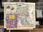
A decorative and finely executed mid-19th-century map of ASIA, drawn and engraved by John Rapkin (vignettes by J. Marchant and J. B. Allen) and published in John Tallis & co.’s The Illustrated Atlas (London & New York, c.1851). The Asia map was typical of the many fine ones which appeared in this work, with its ornamental border and attractive vignettes. Illustrated are views of the architectural city of Petra, Tartars on horseback, Russian peasants, walruses, and various ‘sun-birds of India and the Phillippine Isles’.
| Weight | N/A |
|---|---|
| Size | 52×41 cm, 78×61 cm |


No account yet?
Create an Account


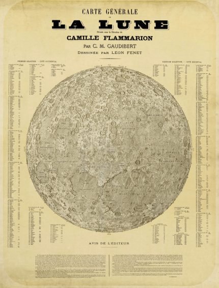
%201887&url=https://www.oldmapslibrary.com/product/the-moon-la-lune-1887/&media=https://www.oldmapslibrary.com/wp-content/uploads/2023/07/la-lune-1887-607x800.jpg)
1 review for ASIA 1851
Clear filters