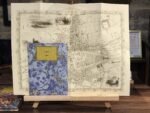
✶✶✶ Unique Old Map Reproduction ✶✶✶
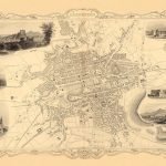
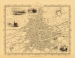
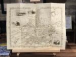
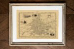
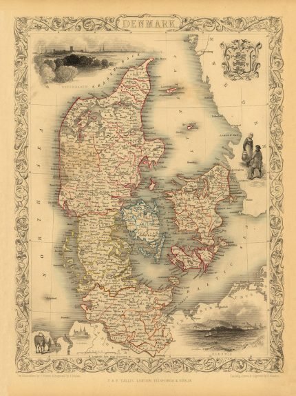
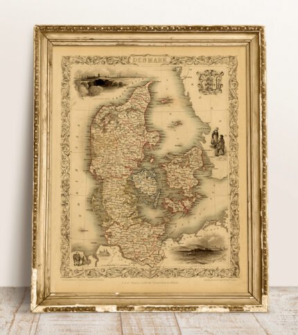
A town plan of CORK. The map includes vignettes of Blarney Castle, Black Rock Castle, Queenstown Harbour and Old Weir Bridge, Killarney. Drawn & engraved by John Rapkin for The Illustrated Atlas and Modern History of the World published by John Tallis.
CARTOGRAPHER: JOHN TALLIS
YEAR: 1851
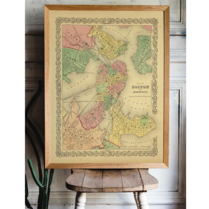
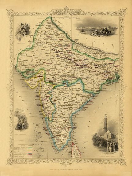
John Tallis is one of the most renowned English cartographers and publishers of the 19th century, despite producing only one atlas.
The Illustrated Atlas of the World was published for the 1851 Great Exhibition, and his maps are considered to be the last of the lavishly decorated and ornamental maps, works of art as much of geography.
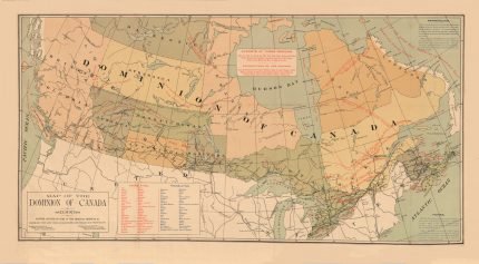
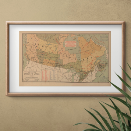
These maps, which were drawn and engraved by John Rapkin, were first brought together within The British Colonies (1849), which included many of the maps subsequently included in the Illustrated Atlas.


1 review for CORK 1851
Clear filters