- Free UK Shipping
- Worldwide Shipping
- Unique Product
- Satisfied Customers
£29.00 – £49.00Price range: £29.00 through £49.00
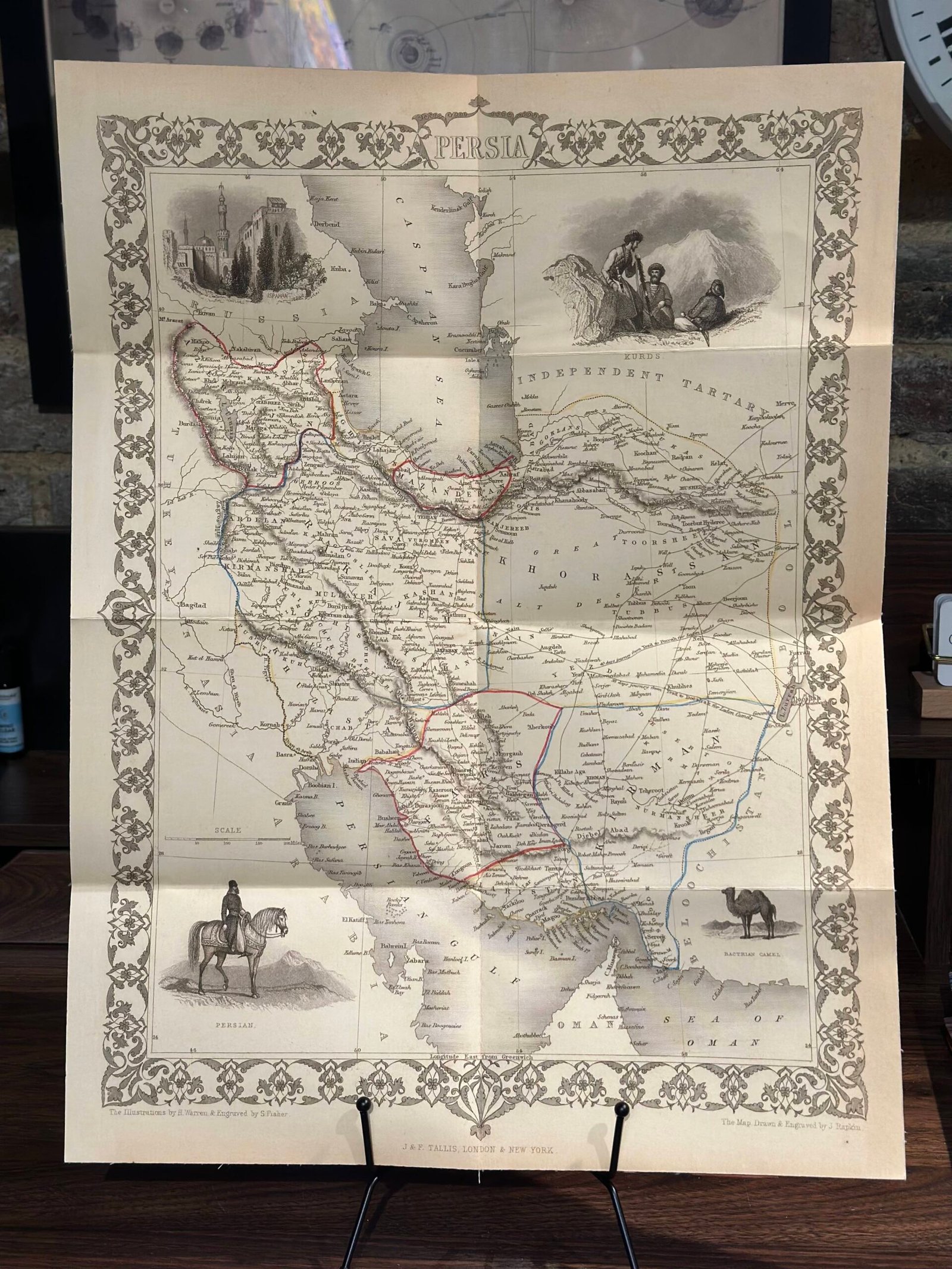
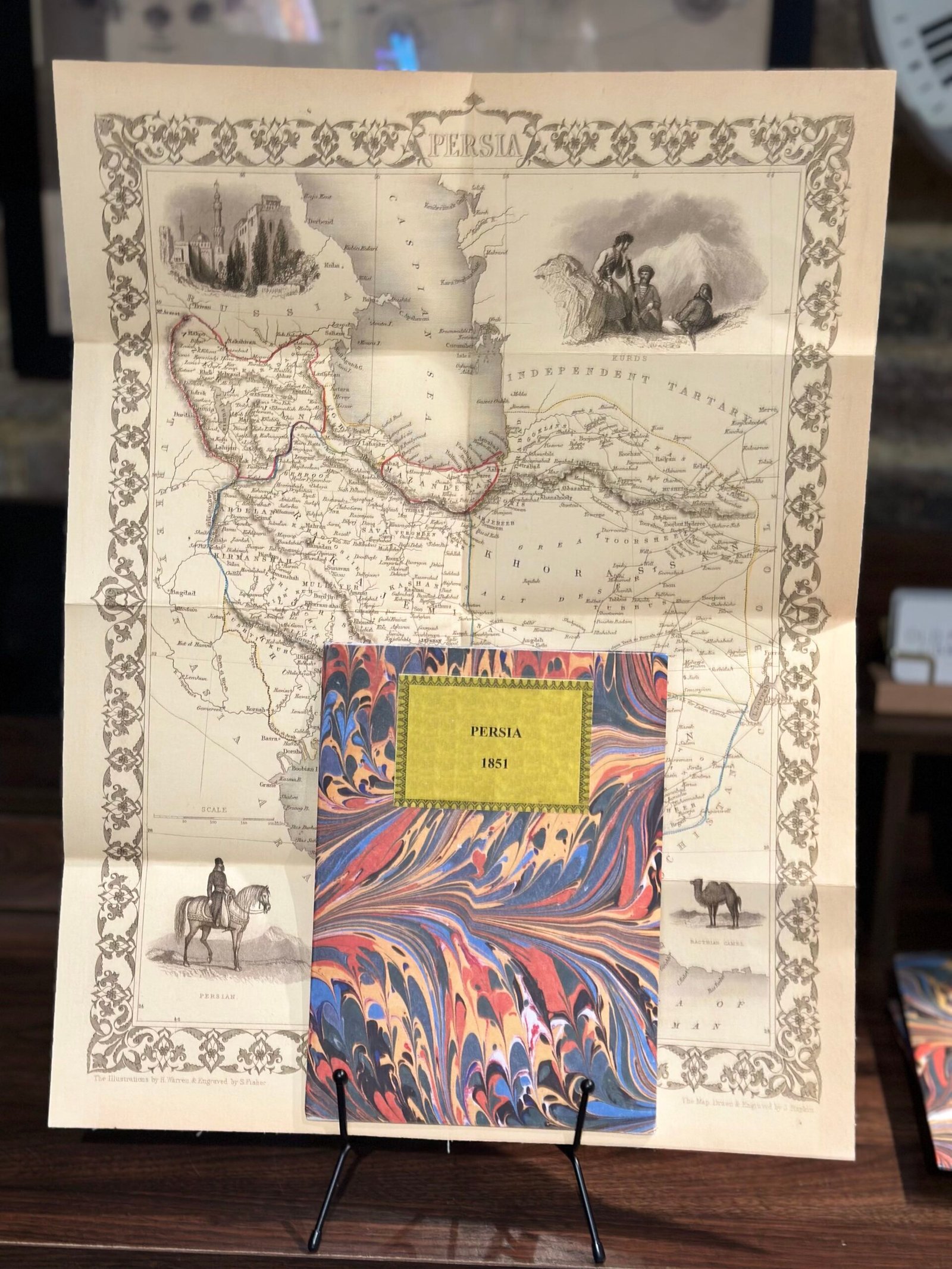
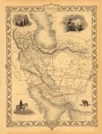
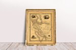
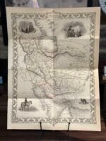
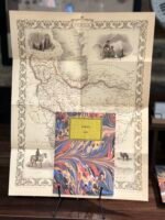
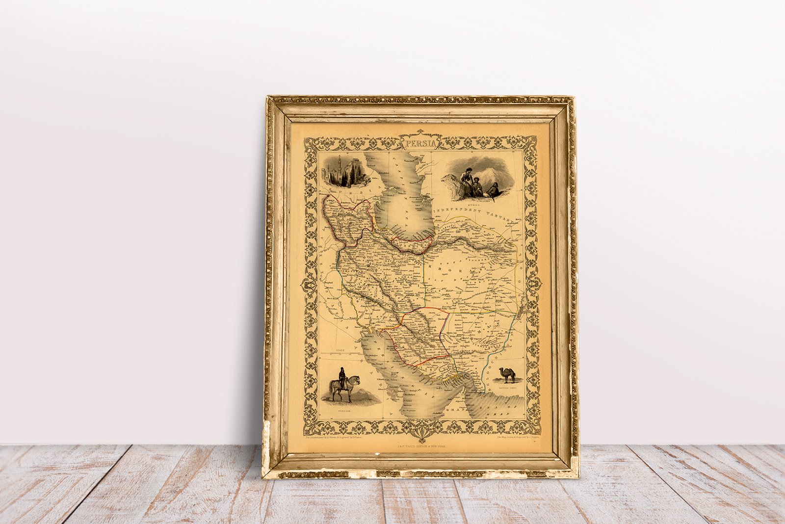
Map of Persia. The map illustrates Persia – from Russia and the Caspian Sea in the north to the Persian Gulf in the south – from Turkey in the West to Cabool in the East. attractive vignette views surrounding the maps, which illustrate the peoples & customs of that region. Includes vignettes of Ispahan, Kurds, Persian on Horse & a Bactrian Camel. From ‘Tallis’s Illustrated Atlas’ of 1851 published in London at the time of the Great Exhibition. Engraved by John Rapkin.
| Weight | N/A |
|---|---|
| Size | 39×51 cm, 60×79 cm |
Europe | Zone 1 | Zone 2 | Zone 3 | |
|---|---|---|---|---|
Small Map Size | £9.90 | £11.20 | £12.25 | £11.35 |
Large Map Size | £14.20 | £20.35 | £22.10 | £23.75 |
Illustrations (tube) | £12.65 | £16.45 | £17.60 | £18.35 |
World Zone 1: Covers all countries, not defined as being in Europe or World Zone 2. (World Zone 1 generally covers countries in North America, South America, the Middle East, the Far East and South East Asia).
World Zone 2: Australia, Belau(Palau), China (including Tibet), East Timor, Fiji, French Southern and Antarctic Territories, French Polynesia, Guam, Japan, Kiribati, Korea, Marshall Islands, Micronesia, Mongolia, Nauru Islands, New Caledonia, New Zealand, Norfolk Island, North Marina Island, Papua New Guinea, Philippines, Pitcairn Island, Samoa, Solomon Islands, Singapore, Taiwan, Tonga, Tuvalu, Vanuatu, Wake Island, Wallis and Futuna Islands, Western Samoa.
World Zone 3: USA


No account yet?
Create an Account
Reviews
Clear filtersThere are no reviews yet.