- Free UK Shipping
- Worldwide Shipping
- Unique Product
- Satisfied Customers
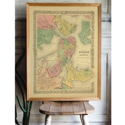
Price range: £29.00 through £49.00
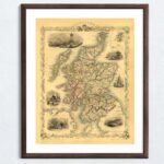
A decorative and detailed mid-19th-century map of Scotland, drawn and engraved by J. Rapkin (vignettes by N. Whittock and J. Rogers) and published in John Tallis & co.’s The Illustrated Atlas (London & New York: c.1851). Illustrated are views of Edinburgh, Brig of Doon and Burn’s Monument, Scott’s Monument, Holyrood House, hunters stalking deer, and Scots in national costume playing shinty.
| Weight | N/A |
|---|---|
| Size | 37×51 cm, 60×85 cm |


No account yet?
Create an Account


1 review for SCOTLAND 1851
Clear filters