Back to products
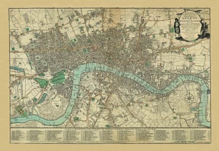
ENVIRONS OF LONDON, THOMAS MOULE 1837
ENVIRONS OF LONDON, THOMAS MOULE 1837 Price range: £29.00 through £49.00

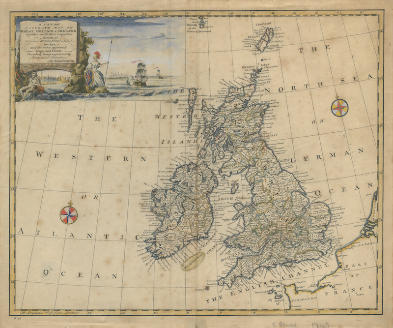
Great Britain & Ireland, 1747 by Emanuel Bowen

Price range: £29.00 through £49.00

Old Map reprint of Geolocial Map of Great Britain & Ireland, 1747
* Linen Backed by Hand.
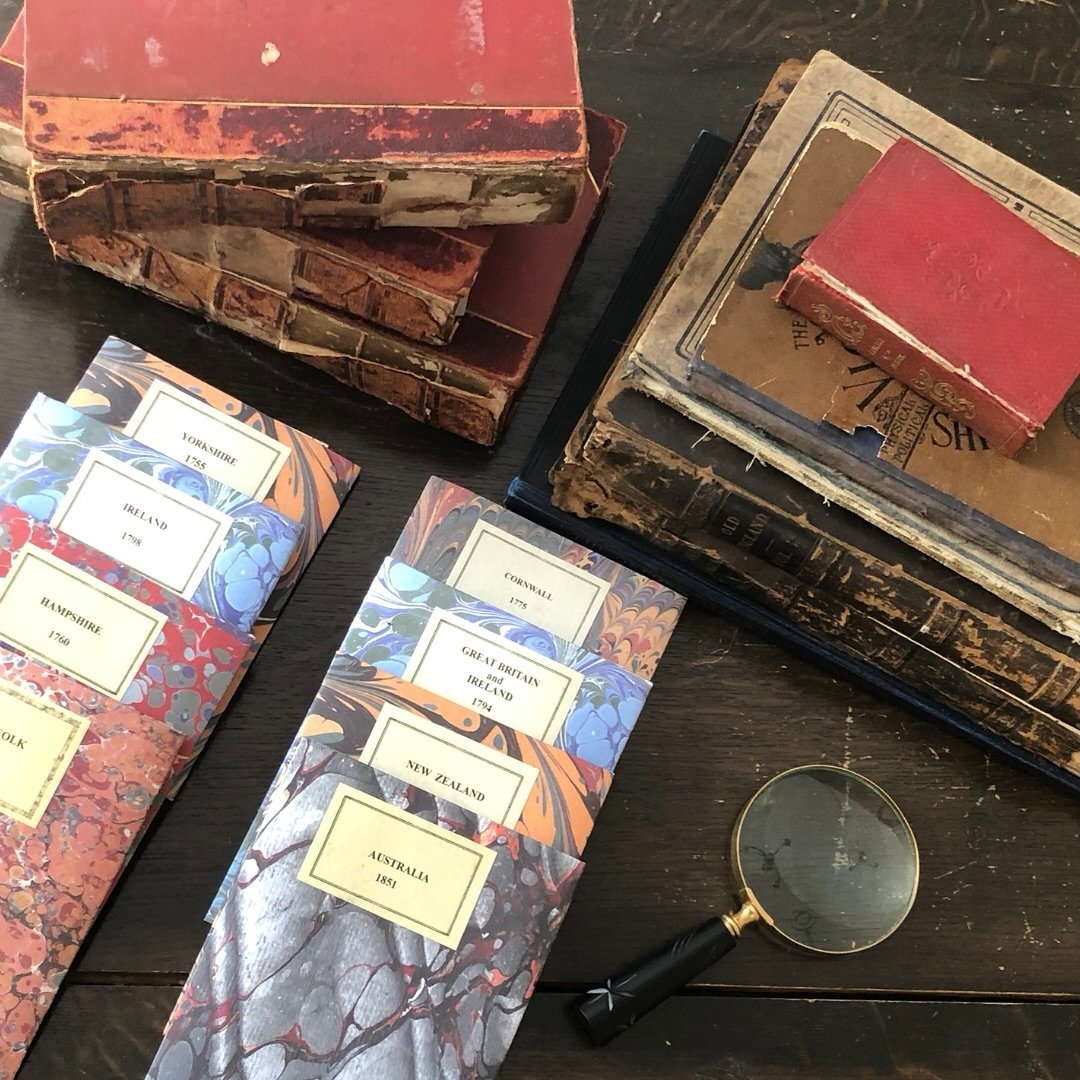
* Folding Map. Fitted into a marbled slipcase.
13 People watching this product now!
Description

✶✶✶ Unique Old Map Reproduction ✶✶✶

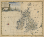
Map of Great Britain & Ireland, 1747 by Emanuel Bowen
A reprint of a New and Accurate Map of Great Britain & Ireland, together with their respective Islands. This map was part of the book “A Complete System of Geography”.
Beautifully engraved and richly detailed, the map depicts England, Scotland, Wales, Ireland, and their surrounding islands, drawn from the latest surveys and “the most approved maps and charts” of the time. A striking ornamental cartouche adorns the sheet, accompanied by two decorative views and compass roses, showcasing Bowen’s renowned artistic flair. Relief is shown pictorially, and coastlines, towns, rivers, and major geographical features are carefully rendered.
Bowen’s maps are treasured for their accuracy, clarity, and elegant design. As one of the foremost map engravers of his era, Bowen produced some of the finest and most influential maps of the 18th century, working with the leading cartographic minds of his time.
Additional information
WeightN/A
DimensionsN/A
Size48×39 cm, 73×60 cm
Shipping & Delivery

All Orders are processed within by next day - Monday through Friday (excluding holidays). Orders are not shipped or delivered on weekends or holidays.

If We are experiencing a high volume of orders, shipments may be delayed by a few days. Please allow additional days in transit for delivery. If there will be a significant delay in shipment of Your Order, We will contact You via email.

Shipping rates & delivery estimates

Shipping charges for Your Orders will be calculated and displayed at checkout.

UK Delivery:

●  Shipping method: Royal Mail 2nd Class Standard

●  Shipment cost: Free

Estimated delivery time: 3-5 business days


Worldwide Delivery:

●  Shipping method: Royal Mail International Tracked & Signed

●  Shipping cost: Calculated at checkout according to weight, size and Zones. (View Table)

●  Estimated delivery time: 8-14 business days

Delivery delays can occasionally occur.

Europe

Zone 1

Zone 2

Zone 3

Small Map Size

£9.90

£11.20

£12.25

£11.35

Large Map Size

£14.20

£20.35

£22.10

£23.75

Illustrations (tube)

£12.65

£16.45

£17.60

£18.35

World Zone 1: Covers all countries, not defined as being in Europe or World Zone 2. (World Zone 1 generally covers countries in North America, South America, the Middle East, the Far East and South East Asia).

World Zone 2: Australia, Belau(Palau), China (including Tibet), East Timor, Fiji, French Southern and Antarctic Territories, French Polynesia, Guam, Japan, Kiribati, Korea, Marshall Islands, Micronesia, Mongolia, Nauru Islands, New Caledonia, New Zealand, Norfolk Island, North Marina Island, Papua New Guinea, Philippines, Pitcairn Island, Samoa, Solomon Islands, Singapore, Taiwan, Tonga, Tuvalu, Vanuatu, Wake Island, Wallis and Futuna Islands, Western Samoa.

World Zone 3: USA

* Prices may vary according to size and weight. Final shipping fees are calculated at checkout.
Product Information

Our unique product have been meticulously crafted, with great care and attention to detail.

✶ All Maps and illustrations are linen-backed by hand.
✶ Printed on Archival Matte Paper.
✶ Quality Epson pigment inks used. Fade resistant.
✶ Maps are folded and fitted into a hand wrapped marbled slipcase.
✶ Illustrations are rolled and posted in a sturdy cardboard tube.
✶ Dimensions are approximately. Select size from the menu.
✶ Colours may vary due to monitor resolution.

Linen backing provided several benefits to cartographers and map enthusiasts:

✶ Preservation: The technique helps protect paper maps from further deterioration by providing a stronger and more stable support.
✶ Sturdiness: Linen backing make maps more durable, preventing tearing and creasing during handling and storage.
✶ Display: Backed maps are easier to frame and display due to their enhanced stability and ability to lie flat.
0 reviews
0
0
0
0
0

There are no reviews yet.

Be the first to review “Great Britain & Ireland, 1747 by Emanuel Bowen”
Review now to get coupon!

Your email address will not be published. Required fields are marked *