- Free UK Shipping
- Worldwide Shipping
- Unique Product
- Satisfied Customers
Price range: £29.00 through £49.00
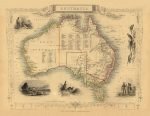
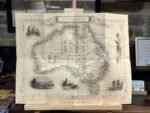
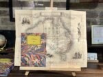
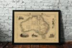
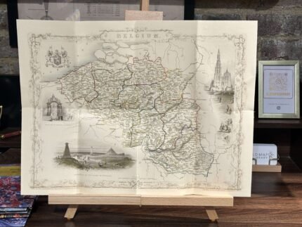
Australia Map 1851 with several vignettes of city views, Aboriginals and various wildlife – was engraved by John Rapkin and published by John Tallis.
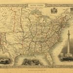
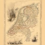
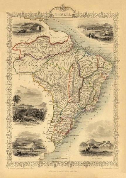
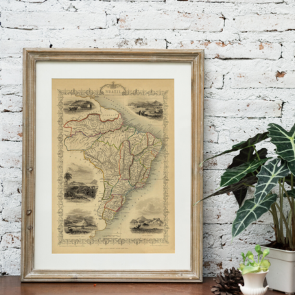
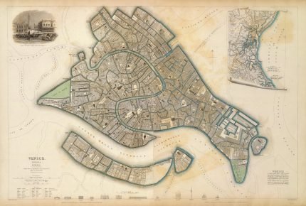
John Tallis issued only one Atlas and was one of the best known of all map-makers and publishers. The maps from “The Illustrated Atlas” were first issued in 1851 to commemorate the Great Exhibition in London, and are considered the last series of decorative maps of the world, combining fine cartographical detail within an elaborate and attractive border.
| Weight | N/A |
|---|---|
| Size | 53×40 cm, 80×61 cm |


No account yet?
Create an Account


Reviews
Clear filtersThere are no reviews yet.